
Antique Maps
Vintage Prints
Old Map Reproductions
Ancient Maps
Featured
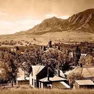
Historic Colorado Photos
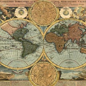
Old World Maps
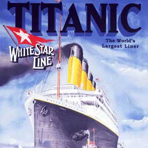
Vintage Posters
Replogle Globes
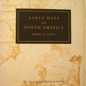
Books
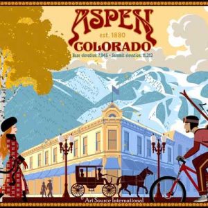
Colorado Art
Custom Framing
Welcome to the World’s Largest Antique Map & Print Website
Welcome to Art Source International! Whether you’re a first-time buyer or a seasoned collector of antique maps and prints, Art Source has something for you. With over 35,000 original antique maps and 7,000 antique prints in stock and a history of over 40 years in business on the Historic Pearl Street Mall, we are excited you’re here!
We are proud to offer a complete selection of Replogle Globes, Rare and Antique Maps, Historical Maps, Antique Atlases, Antique Prints, turn-of-the-century reproduction posters, historic photographs of Colorado and other cartographic material. If you are searching for a particular map, print or poster please use our request an item form.
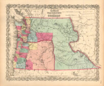
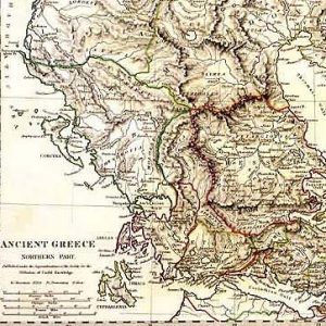
Antique Maps
Antique Maps from 1500s through WWII
Coastal Survey Maps
Civil War Maps
World Maps
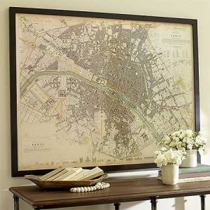
City and State Maps
Reproduction Maps
Fine Giclée reproduction maps of all regions in the world
Maps dating as early as the 1400’s
One of a kind manuscript maps
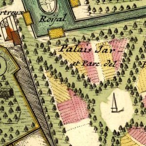
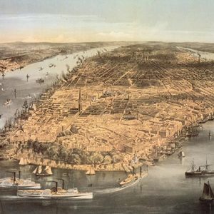
19th Century birds eye view maps
Larger Sizes Available
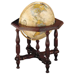
Classic Globes from Replogle
Replogle’s entire line of globes – 32″ Diplomat to the 4.7″ Executive
90 quality globe styles, world’s most accurate, well-made & beautiful
Desk & floor models, updatable, & include special features such as raised relief, illumination & antique or blue oceans
Antique Prints
Architecture
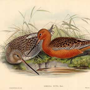
Birds
Botanicals
Butterflies & Moths
City & Town Views
Fish
Insects
Native Americans
Natural History
Sea Shells
Ships & The Ocean